Monsoon starts retreating; conditions favourable for withdrawal from parts of Gujarat in 2-3 days: IMD
September 15, 2025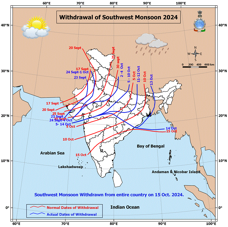
New Delhi: The India Meteorological Department (IMD) on Sunday announced that the withdrawal of the southwest monsoon has commenced, as it started retreating from parts of west Rajasthan — three days ahead of its normal date of September 17. The weather arm of the central government also stated that conditions are favourable for further withdrawal from more areas of Rajasthan as well as parts of Punjab and Gujarat over the next 2–3 days.
According to the IMD, the current line of withdrawal passes through 30.5°N/73.5°E, Sri Ganganagar, Nagpur, Jodhpur, Barmer, and 25.5°N/70°E. Meteorological conditions remain favourable for further withdrawal from more parts of Rajasthan along with Punjab and Gujarat in the coming days.
This marks the earliest retreat since 2020 under the revised schedule, which fixed September 17 as the normal withdrawal date based on 1971–2019 data. Under the earlier system (1901–1940 records), the process used to begin on September 1. The last earliest withdrawal was in 2015, when it started on September 4.
It is also noteworthy that this year the monsoon made an early onset over Kerala on May 24, eight days ahead of the normal June 1 date, and subsequently covered the entire country by July 8 — nine days ahead of schedule.
While early onset or withdrawal does not affect the overall monsoon performance, it plays a crucial role in agriculture, water management, and hydropower planning. This year’s early onset allowed farmers to begin kharif sowing sooner. As a result, the total acreage reached 1,105 lakh hectares — higher than both last year’s 1,078 lakh hectares and the normal 1,096 lakh hectares. IMD noted that the slightly early withdrawal will not affect agriculture, as kharif sowing is complete and major reservoirs hold sufficient water for the upcoming rabi season.
This year, the monsoon covered the entire country in 37 days — starting early on May 24 and reaching all regions by June 29, a day faster than the usual 38-day span. IMD had forecast an “above normal” monsoon for 2025, and so far the country has received over 7% surplus rainfall (June 1–Sept 14), recording 846.3 mm against the long-period average of 790.1 mm.
Meanwhile, an anti-cyclonic circulation is prevailing over west Rajasthan at around 1.5 km above mean sea level, and the region has not received rainfall in the last five days. A decline in atmospheric moisture content up to the middle troposphere has also been observed.
Separately, a low-pressure area persisted over north Telangana and adjoining Vidarbha. The associated cyclonic circulation extended up to 4.5 km above mean sea level, tilting southwestwards with height. The system is expected to move west-northwestwards towards central Vidarbha and nearby regions, before shifting nearly northwards as a remnant upper-air cyclonic circulation.
In addition, another cyclonic circulation over the west-central and northwest Arabian Sea — lying between 1.5 km and 5.8 km above mean sea level and tilting southwards with height — continues to persist. DeshGujarat
Recent Stories
- India vs SL Match
- Free rides on AMTS buses for three days during Diwali
- 100 years of service to nation was our duty, so no celebration is needed: RSS Chief
- Commonwealth Sport Board Recommends Ahmedabad as Host City for 2030 Commonwealth Games
- Gujarat CM to visit Mumbai for listing of SMC's green municipal bonds on NSE